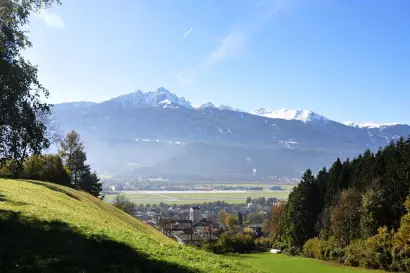
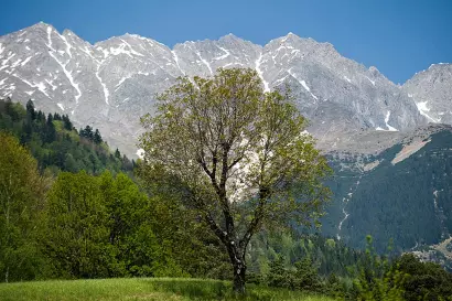
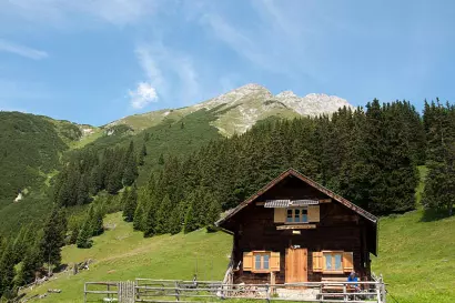
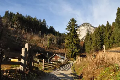
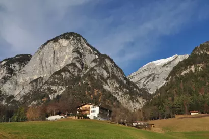
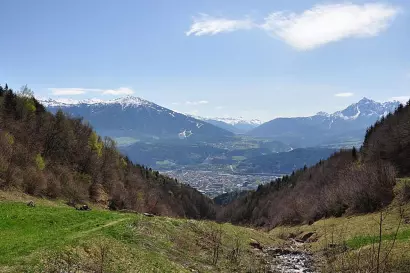
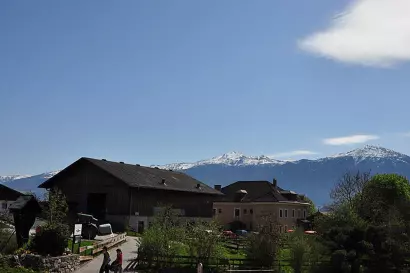
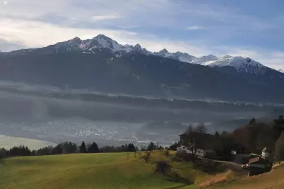
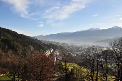
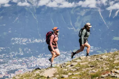
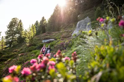
When you sit on your balcony at the Kasperhof, you can enjoy an impressive view down the Inn Valley surrounded by the mountains. For those wishing to go a little bit "higher", we recommend a relaxing hike out in the great outdoors.
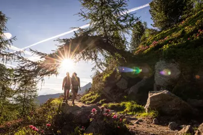
From the balcony of your holiday apartment at Kasperhof, you can enjoy a breathtaking view of the Inn Valley. For those who love to venture even higher, we have put together a selection of special hiking highlights. These hikes vary in difficulty but share one fantastic feature: they all start right at your doorstep.
We are happy to present our favorite tours here:
Rauschbrunnen Loop
Character:
A wonderful hiking destination at Rauschbrunnen, offering a unique view over Innsbruck, the southern Mittelgebirge, and deep into the Wipptal. A scenic continuation leads to Höttinger Bild, though caution is advised on the Knappensteig, which can be slippery when wet—sticking to the forest road is recommended in such conditions. The descent along the Kreuzweg to Planötzenhof is beautiful, followed by an easy return walk to Kasperhof.
A dream tour, thanks to its south-facing location, making it easily accessible well into late autumn.
Route Kasperhof – Höttinger Bild:
From Kasperhof, follow the road to the right towards Berchtoldshof (662 m). From there, take a right turn onto the paved road leading directly uphill to Buzihütte (follow the signs for Buzihütte).
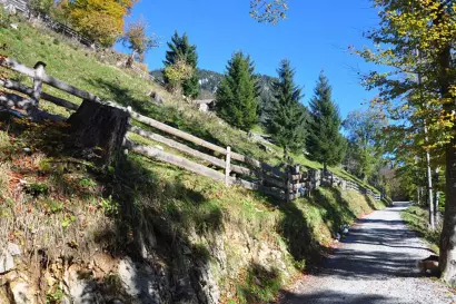
At the hut, take the staircase upwards, keeping left on a wide forest path (marked "Rauschbrunnenrunde" for walking). Head northwest through the forest, briefly following a forest road twice, passing by Kolland Brunnen. Shortly after, the trail ascends in 14 gentle switchbacks, making the climb not too steep.
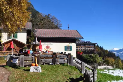
At the edge of a meadow, follow a gravel road leading to the Alpengasthof Rauschbrunnen (1,088 m).
Continuation to Höttinger Bild
Pass directly between the farm buildings and follow the narrow mountain trail eastward, slightly downhill, until you reach a forest road. From here, you have two options: Easier route: Turn left onto the forest road, ascend gently for a short stretch, and then descend towards Höttinger Bild. More challenging route: After a few meters on the forest road, turn right, following the signs for Höttinger Bild. This path is a narrow mountain trail with exposed roots—it can be very slippery when wet!
Descent via Kreuzweg to Planötzenhof
Descend along the Kreuzweg to Planötzenhof, then follow the gravel path to the right, above the access road, heading downhill towards Sadrach. Stay above the houses along the forest edge, heading westward. From here, you have two options: Continue westward until just before Buzihütte, then at a farm building, turn left down through a small valley to Berchtoldshof and return to Kasperhof. Alternatively, after passing the last houses in Sadrach, turn left along a farm road, descending directly back to Kasperhof.
Hiking Details:
Walking time Kasperhof – Rauschbrunnen: 1 – 1.5 hours
Total walking time for the full loop: 3 – 3.5 hours
Total elevation gain: 505 meters
Total route length: 8.8 km
Rest stops along the way: Berchtoldshof, Alpengasthaus Rauschbrunnen, and Planötzenhof
Achselboden - Seegrube:
Mountain Tour from Kasperhof via Rauschbrunnen to Aspachhütte and Along Durrachsteig to Achselbodenhütte, Continuing to Seegrube
Character:
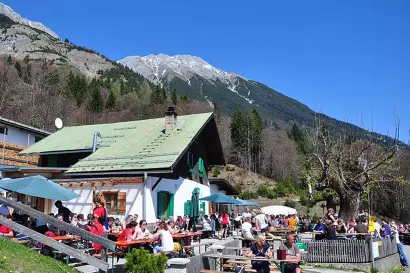
A fantastic panoramic mountain hike with breathtaking views over the capital city of Innsbruck, Patscherkofel, and deep into the Wipptal and Oberinntal. The scenery constantly changes, with beautiful resting spots at Achselkopfalm and Aspachhütte (both unstaffed). The Alpengasthof Rauschbrunnen offers a perfect stop with a large sun terrace and a stunning panoramic view. This hike can also be enjoyed in reverse, turning it into a relaxed tour with minimal elevation gain when using the Nordkettenbahn.
Route Kasperhof – Alpengasthof Rauschbrunnen
From Kasperhof, follow the road to the right towards Berchtoldshof (662 m). There, take a right turn onto the paved road leading directly uphill to Buzihütte (follow the Buzihütte signs). At the hut, climb the stairs and keep left, following a wide forest path (marked "Rauschbrunnenrunde" for walking). Head northwest through the forest, briefly following a forest road twice, passing Kolland Brunnen. Shortly after, ascend in 14 gentle switchbacks, making the climb not too steep. At the edge of a meadow, follow a gravel road, leading to the Alpengasthof Rauschbrunnen (1,088 m).
Continuation to Seegrube
From the Alpengasthof Rauschbrunnen, follow the steep switchback trail along a forested ridge heading northwest to Aspachhütte (1,534 m). Above the hut, keep right and follow the Durrachsteig, which ascends diagonally through dwarf pine terrain, leading to Achselbodenhütte (1,645 m). From there, continue upward along a wooded ridge to the Brandjochkreuz junction. Keep right, maintaining the same direction, crossing several ravines. The trail curves in a wide right arc, gradually ascending beneath Frau Hitt, until reaching the mountain station at Seegrube (1,905 m).
Return Route / Descent:
The easiest way back is to take the Nordkettenbahn down to Hungerburg and from there, continue by public transport. Alternatively, you can descend via Gramartboden to Höttinger Bild, then follow the Kreuzweg to Planötzenhof and return to Kasperhof. This option adds approximately 1.5 hours to your journey.
Tip:
The easier option starts from Kasperhof and leads to Höttinger Bild, then via Gramartboden to Hungerburg. From there, take the cable car to Seegrube and hike down via Rauschbrunnen back to Kasperhof. Alternatively, you can take public transport directly to Hungerburg and start your ascent from there.
Hiking Details:
Hiking time Kasperhof – Achselbodenhütte: 3 – 3.5 hours
Total ascent time: 4 – 5 hours
Total elevation gain: 1,418 meters
Total distance: 12 km
Refreshment stops along the route: Alpengasthof Rauschbrunnen and Bergrestaurant Seegrube
Achselkopf - Achselkopfhütte:
Mountain Hike from Kasperhof to Höttinger Bild, Over Achselkopf to Achselkopfhütte
Descent via Aspachhütte to Gasthaus Rauschbrunnen and Down to Berchtoldshof
Character:
A moderately difficult circular hike high above the Hötting/Sadrach district, offering stunning panoramic views of Innsbruck, the lower Inn Valley, and deep into the Wipptal.The route features peaceful, unstaffed rest spots at Achselbodenhütte and Aspachhütte, followed by a refreshment stop at Rauschbrunnen, which sits in a dreamlike location on a small high plateau.
Route Description:
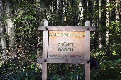
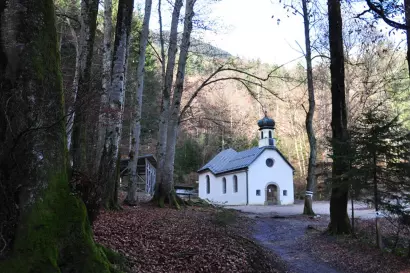
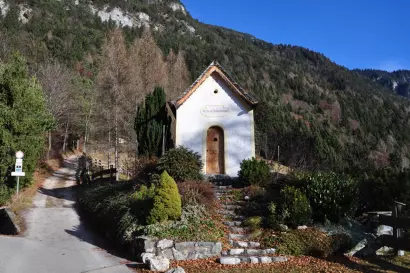
From Kasperhof, walk a few meters left towards Innsbruck city center, then immediately turn left after a chapel, just before the bus stop. Follow the asphalt road briefly, then continue northward on a hollow path into the forest until you reach the “Grüner Boden” forest playground, where you join a crossing hiking trail. Turn right, following the gently ascending path along the forest edge above Saurach in a northeastern direction. At a trail intersection, continue straight uphill to Planötzenhof (signposted Planötzenhof Kreuzweg – Höttinger Bild).
Above Planötzenhof, follow the marked Kreuzweg trail northward, ascending gently along the Stations of the Cross. At the Stangensteig junction, keep slightly right toward the now visible pilgrimage church (905 m). From the fountain near the church, follow the sign “Achselkopf” through the forest, briefly crossing a forest road, passing a hunting hut, until you reach the end of a forest road just below Achselkopf (viewpoint, 1,235 m). From here, a narrow trail ascends in multiple switchbacks into the eastern slope of Achselkopf. You can then either take a steeper left path or continue right through the forest to Achselbodenhütte (1,645 m).
Above the hut, turn left (westward) and cross steep dwarf pine slopes along the Durrachsteig to reach Aspachhütte (1,534 m). From there, follow a wooded ridge, descending in numerous switchbacks southeastward to reach Alpengasthof Rauschbrunnen (1,088 m).
Descend briefly along the gravel road, then at the signposted junction, turn right and continue down through the forest in multiple switchbacks to Kolland Brunnen. Continue southeastward, descending to Buzihütte, and further down to Berchtoldshof. From there, turn left and walk a few more meters along the road back to Kasperhof.
Hiking Details:
Hiking time Kasperhof – Achselbodenhütte: 2.5 – 3 hours
Total hiking time: 4.5 – 5 hours
Total elevation gain: 1,030 meters
Total distance: 13.5 km
Refreshment stops along the route: Alpengasthof Rauschbrunnen and Berchtoldshof
Kerschbuchhof – Höttinger Bild Circular Hike:
Character:
A slightly longer circular hike offering many scenic impressions directly above Innsbruck. The ascent through Knappental to the beautifully situated Kerschbuchhof is already a wonderful experience. From there, you can enjoy breathtaking views over Innsbruck, the Inn Valley, and deep into the Wipptal.
The hike continues along the shaded Stangensteig to the pilgrimage site Höttinger Bild, followed by a simple return route via Planötzenhof.
Route Description:
From Kasperhof, follow the road to the right toward Berchtoldshof (662 m). Continue along Allerheiligenhofweg, heading gently downhill eastward. Just before the railway crossing, keep right and pass through the Allerheiligenhof settlement. Shortly after the Innsbruck Fire Department station, descend slightly, turn left through the railway underpass, and then immediately right onto Harterhofweg. Follow this path until the junction before the Kranebitten Dog Boarding House.
At this point, turn right onto Knappentalweg, ascending toward Kerschbuchhof, which is beautifully situated in the middle of a large mountain meadow with panoramic views. Pass west of the farm, go left past the chapel, and ascend along the forest edge (Edelweisshüttenweg) in the direction of "Höttinger Bild – Rauschbrunnen". At the upper end of the meadow, keep right at the trail junction, following Stangensteig No. 8 toward Höttinger Bild. Soon, you will reach a forest road—follow it right and downhill to Kollandbrunnen.
Right after the spring, take the narrow mountain trail left (marked Fuchseggweg) toward Höttinger Bild. After a short stretch along a forest road, continue straight on Hainzenmarterlweg, heading eastward until you reach the crossing path that connects Planötzenhof to Höttinger Bild. Turn left, and in just a few minutes, you'll arrive at Höttinger Bild (905 m).
For the return route, retrace your steps briefly, then follow the forest road downhill to the parking lots above Planötzenhof. From here, turn right, following a gentle downhill trail through the forest, staying above the Sadrach district (marked Buzihütte). Pass the Grüner Boden playground and continue to Buzihütte. From there, take the gravel road left downhill to Berchtoldshof, or alternatively, descend left through the ravine before Buzihütte to reach Berchtoldshof. From there, turn left back to Kasperhof.
Hiking Details:
Total hiking time: 3 – 3.5 hours
Total elevation gain: 448 meters
Total distance: 10.1 km
Refreshment stops along the route: None
Höttingerbild - Arzler Alm:
Hike from Kasperhof to Höttinger Bild and on to Arzler Alm
Character:
A simple and enjoyable hike along scenic forest and woodland trails high above Innsbruck. The route offers stunning views of the Nordkette mountain range, the city of Innsbruck, and deep into the Wipptal.
A fantastic stop at Arzler Alm awaits, featuring a beautiful panoramic terrace with a magnificent view of Patscherkofel.
Route Description:
From Kasperhof, walk a few meters left towards Innsbruck city center. Just before the bus stop, turn left uphill after the chapel. Follow the asphalt road briefly, then continue northward along a hollow path into the forest until you reach the Grüner Boden forest playground, where you merge into a crossing hiking trail.
Turn right and follow the gently ascending trail along the forest edge above Saurach, heading northeast. At a trail junction, continue straight uphill towards Planötzenhof (signposted Planötzenhof Kreuzweg – Höttinger Bild).
Above Planötzenhof, follow the marked Kreuzweg trail northward, ascending gently along the Stations of the Cross. At the Stangensteig junction, keep slightly right towards the now visible pilgrimage church (Höttinger Bild).
Continue uphill on the forest road, following the signs for "Panoramaweg Arzler Alm". At the next few junctions, always keep right. The trail leads through the Höttinger Graben, eventually merging into the Nordkette access road. Again, keep right and descend along the forest road to Arzler Alm.
Return Route:
Option 1: Return via the same route.
Option 2: Descend along the forest trail or gravel road to Hungerburg, then head west via Gramarthof (Gramartboden) to Höttinger Bild, and return along the same path to Kasperhof.
Hiking Details:
Hiking time Kasperhof – Arzler Alm: 2.5 – 3 hours
Total hiking time (round trip): 3.5 – 4 hours
Total elevation gain: 586 meters
Total distance (round trip): 16 km
Refreshment stops along the route: Arzler Alm and Planötzenhof
Kerschbuchhof - Kollandbrunnen Circular Hike:
Character:
A simple circular hike offering many scenic impressions directly above Innsbruck. The ascent through Knappental to the beautifully situated Kerschbuchhof is already a wonderful experience. From there, enjoy breathtaking views over Innsbruck, the Inn Valley, and deep into the Wipptal.
The route continues along the shaded Stangensteig to Kollandbrunnen, followed by an easy return to Kasperhof.
Route Description:
From Kasperhof, follow the road to the right toward Berchtoldshof (662 m). Continue along Allerheiligenhofweg, heading slightly downhill eastward. Just before the railway crossing, keep right and pass through the Allerheiligenhof settlement.
Shortly after the Innsbruck Fire Department station, descend slightly, turn left through the railway underpass, and then immediately right onto Harterhofweg. Follow this path until the junction before the Kranebitten Dog Boarding House.
At this point, turn right onto Knappentalweg, ascending toward Kerschbuchhof, which is beautifully situated in the middle of a large mountain meadow with panoramic views.
Pass west of the farm, go left past the chapel, and ascend along the forest edge (Edelweisshüttenweg) in the direction of "Höttinger Bild - Rauschbrunnen".
At the upper end of the large meadow, keep right at the trail junction and follow Stangensteig No. 8 toward Höttinger Bild. Soon, you will reach a forest road—turn right downhill and follow it to Kollandbrunnen. Continue downhill along the forest road, following the signs for Buzihütte. From Buzihütte, descend via the asphalt road to Berchtoldshof, then turn left to return to Kasperhof.
Hiking Details:
Total hiking time: 2 – 2.5 hours
Total elevation gain: 311 meters
Total distance: 5.8 km
Refreshment stops along the route: None
If you have any questions about the hikes, please do ask us and we will be delighted to help you.
